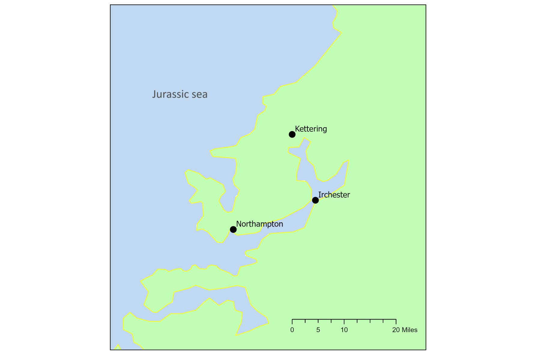
Outline map of Northamptonshire area in Jurassic period
Middle Jurassic Northamptonshire, about 168 million years ago, was very different from today. It was a greenhouse world whose atmosphere had about 5 times the CO₂ than now, a mean global surface temperature between 5 and 10 degrees Celsius higher, and deep ocean temperatures around 8 degrees Celsius above those at present. The giant continent of Pangea was beginning to break up. At this time, this area of Britain was part of a narrow seaway between a low-lying landmass to the south-east (the London Platform) and the Wales-Pennine landmass to the north-west. This offshore setting was home to a variety of marine life including oysters, sea urchins, belemnites, bivalves, and brachiopods. Land was not too far away as evidenced by occasional pieces of fossil wood and land plant fossils.
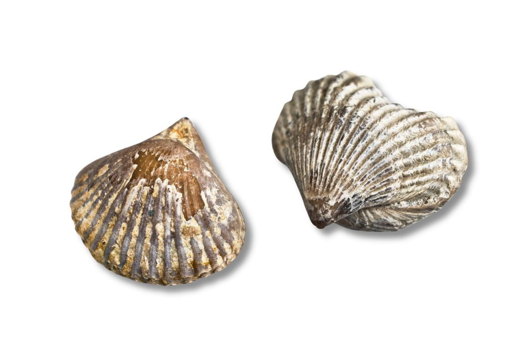
This fossil example is the brachiopod Kallirhynchia sharpi, a filter feeder. It was found at the base of the Blisworth Limestone. It is named after Samuel Sharp (1815-83), an eminent local geologist and archaeologist who donated a portion of his geological collection to Northampton. In 1870 and 1873 his research into Northamptonshire’s geology resulted in the publication by the Geological Society of London of “The oolites of Northamptonshire".
Number 1 of the objects selected for the A History of Northamptonshire in 100 Objects Exhibition 2025
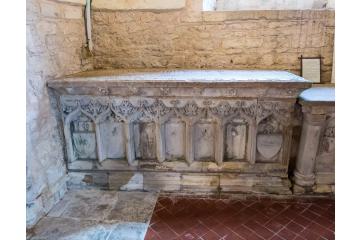
Medieval tomb chest for John Woodville in St. Mary the Virgin church in Grafton Regis. John Woodville was the great-grandfather of Elizabeth Woodville, Queen of England during the 15th century.
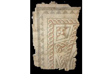
This fragment of Roman mosaic flooring is on display in Daventry Museum. It is part of a larger decorative floor, discovered in 1823 on Borough Hill, Daventry by historian George Baker, with a full excavation carried out in 1852 by Beriah Botfield, MP.

 © NMAG
 © Steve Pulley
 ©
NMAG
©
NMAG
 ©
Grafton Regis Historians
©
Grafton Regis Historians
 ©
NMAG
©
NMAG